
Tool for automatic census-based mapping of live seedlings, planting gaps, and effective planted area just a few days after planting.

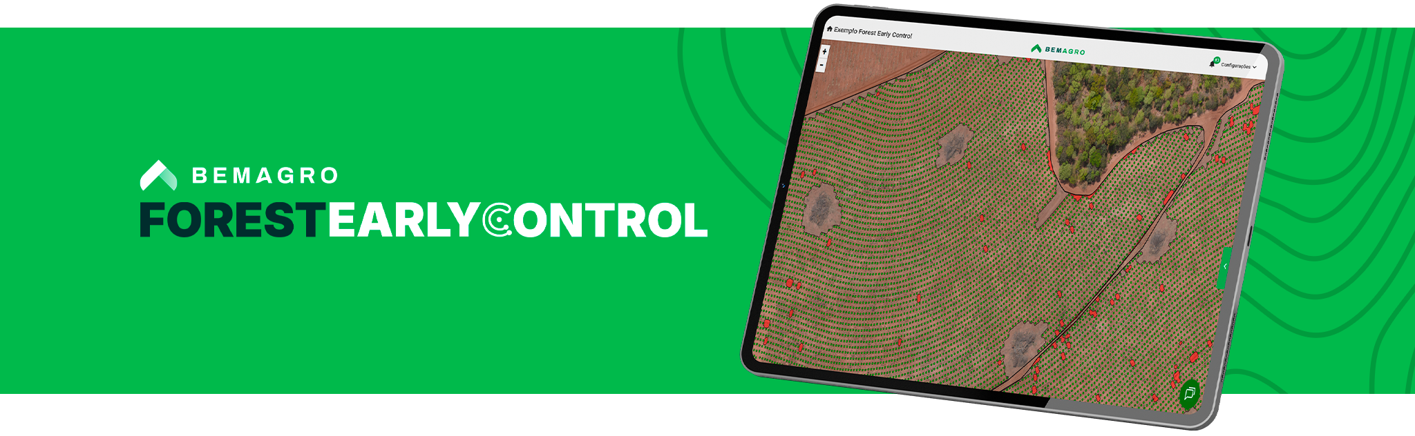
Discover the advantages of Forest Early Control
-
Eliminate the subjectivity of manual sampling and the uncertainties that compromise decision-making.
-
Move from sample-based analyses to full-census inventory with actionable data.
-
Gain speed and confidence in replanting decisions with clear and fast reports.
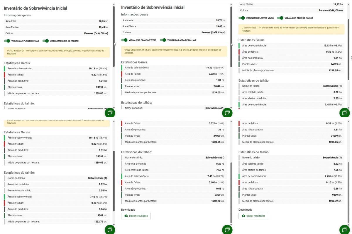
Survival Index
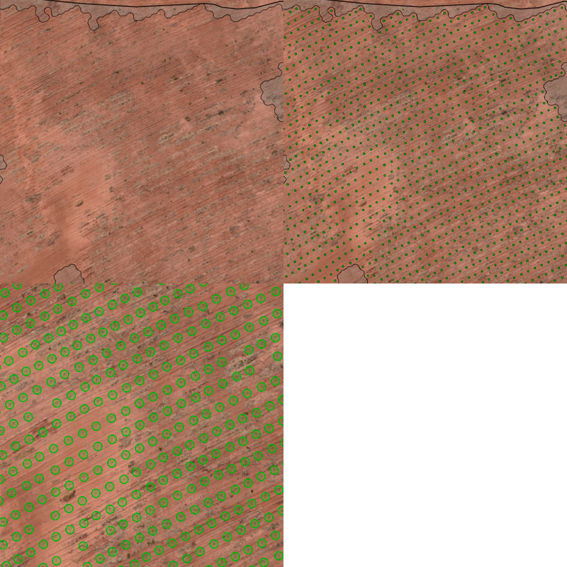
Detect early-stage seedlings with precision using AI and eliminate manual fieldwork, increasing data reliability through census analysis.
Visualize
Quantify live seedlings, planting gaps, and effective area within 20 days after planting.
Analyze
Perform quadrant-based map analyses and view reports with clear, actionable statistics.
Decide
With an objective view of the initial planting performance, you can make precise replanting decisions, optimizing forest management from the very beginning.
Georeferenced Seedlings
Full coverage of the stand with complete, georeferenced data. Make decisions based on evidence, not estimates.
Visualize
Access the rendered map and view full stand coverage.
Analyze
Analyze complete stand-level data with the precise location of every seedling.
Decide
Make decisions based on real evidence from the georeferenced map.
Planting Gaps
Analyze regions with planting gaps to optimize operations with the precision needed to plan and conduct field activities.
Visualize
Access the map and view planting gaps across the forest areas.
Analyze
Interact with the results, reviewing statistics for gaps in linear meters and as a percentage of the total mapped area or per stand.
Export
Export results quickly and easily.
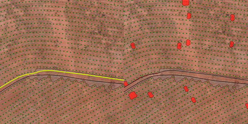
Effective Planting Area
Obtain the actual planted area, excluding access roads, cemetery areas, terraces, and mini-terraces.
See the main features Forest Early Control offers
Mapping of live seedlings
Planting gaps
Survival index
Georeferenced seedlings
Effective planting area
Escolha seu plano ideal
Arraste para o lado para conhecer
