
AI-powered tool that automates the generation of soil preparation and planting rows.
Automate row generation, fully adapting to terrain and machinery.

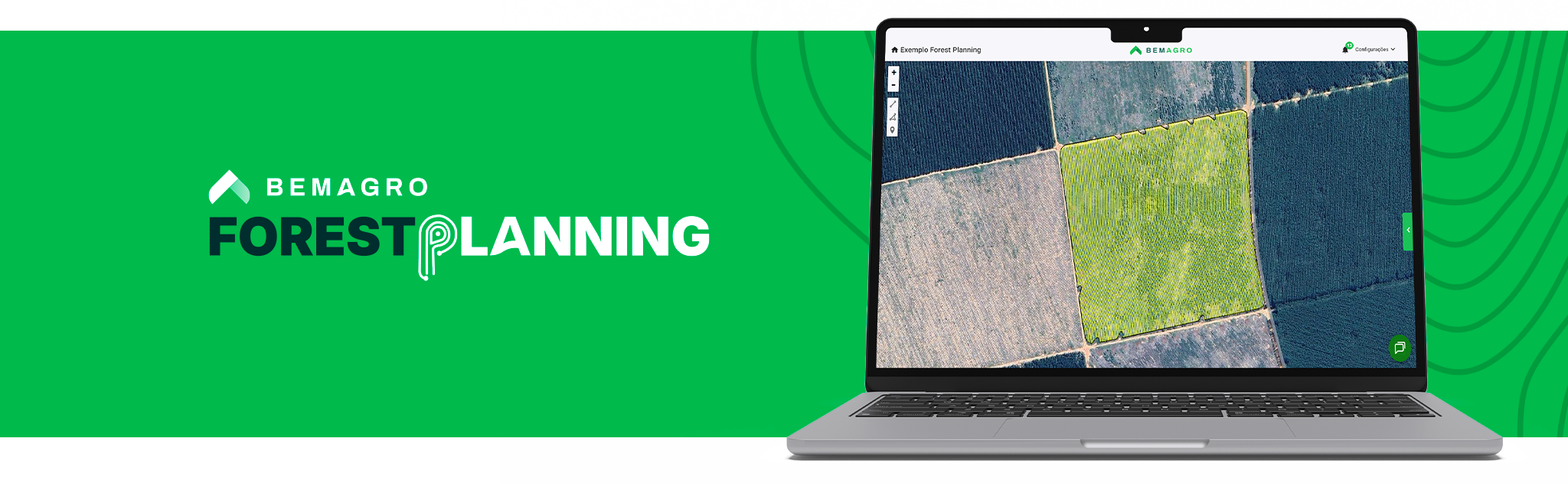
Discover the advantages of Forest Planning
-
Create row projects automatically.
-
Boost your operation with AI and achieve maximum efficiency and precision in the field.
-
Standardize processes, scale operations, and add more technical value to your forest planning.
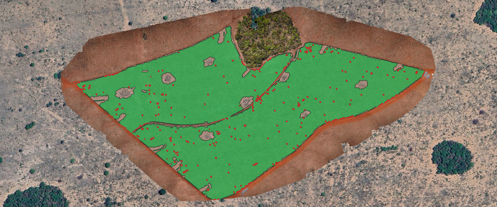
Analytical Maps
Forest Planning incorporates solid algorithms and methodologies for the automatic generation of project scenarios. Instantly obtain elevation, slope, and surface water runoff.
Soil type and preparation
Rainfall index
Elevation, slope, and runoff
Equipment measurements
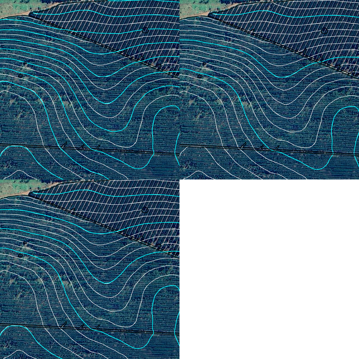
Terrace Lines
Increase productivity and preserve soil with terrace systems by evaluating contribution area, rainfall index, and distribution to optimize erosion control and ensure production stability year-round.
Scenarios
Automatically create terrace allocation scenarios based on elevation, slope, water runoff, soil type and preparation, equipment dimensions, and rainfall indexes. Includes the option to parameterize by fixed DV and reference elevation.
Analyze
Make decisions based on water retention capacity, number of terraces, and the ratio of terrace length per contribution area.
Visualize
Access rendered results with real-time interaction and observe instant updates of all statistics.
Export
Download the selected scenario as a shapefile and in the proprietary formats of major market monitors for field execution.
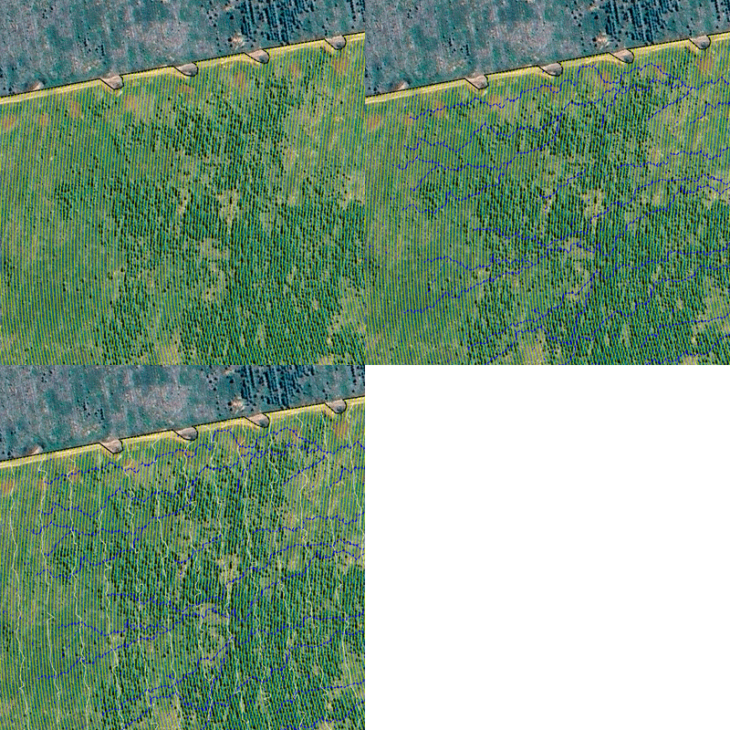
Soil Preparation and Planting Rows
Adapt your projects to different terrains with automatic row generation for multiple scenarios, such as straight shots, contour/level planting, or planting along the slope.
Customize
Generate rows and points in just a few hours, eliminating manual steps and ensuring standardized, consistent, and reliable results.
Interact
Review generated scenarios and interact with data in real time.
Simulate
For straight-shot layouts, explore up to 180 angle options.
Decide
Compare scenario statistics for decision-making regarding total and average row length, number of planted rows, and number of maneuvers.
Exporting Planting Rows and Points
Automatically export project rows and points for precise execution via autopilot (GPS), ensuring greater speed and efficiency in the field.
Customize
Choose the row and point scenario that best aligns with your objective.
Direct
Customize row angles to reduce crop trampling.
Simulate
For straight-shot layouts, explore up to 180 angle options.
Decide
Export automatically and compare scenario statistics to support decisions regarding row length, number of maneuvers, and average row length.

See the main features Forest Planning offers
Soil preparation and planting rows
Automated row projects
Analytical maps
Terrace lines
Export of planting rows and points
Escolha seu plano ideal
Arraste para o lado para conhecer
